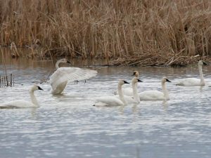
 Welcome to a prime vacation destination for birders! Lying within the Pacific Flyway, the major north-south route of travel for migratory birds in the Americas, the International Selkirk Loop offers bird watchers an extra incentive to visit and make a vacation of it.
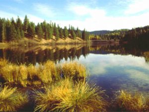
 As you travel around the Loop you’ll discover a variety of beautiful mountain and valley landscapes and ecosystems — from rolling grasslands to towering mountain peaks and alpine vistas, to lush valley bottoms girded by pristine rivers and streams, to renowned wetlands and dense green forests. You can explore all of these ecosystems, each providing unique habitat for a variety of bird and wildlife species.
Creston Canada
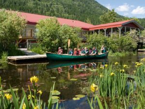
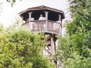
The Kootenay-Columbia Discovery Centre offers wetland education and awareness programs at the Creston Valley Wildlife Management Area – a 17,000 acre internationally recognized wetland habitat. The Centre is open seasonally from May to October offering guided canoe and walking tours and special events and programs. The Kootenay- Columbia Discovery Centre Society works to promote environmental …